
 Zambezi River
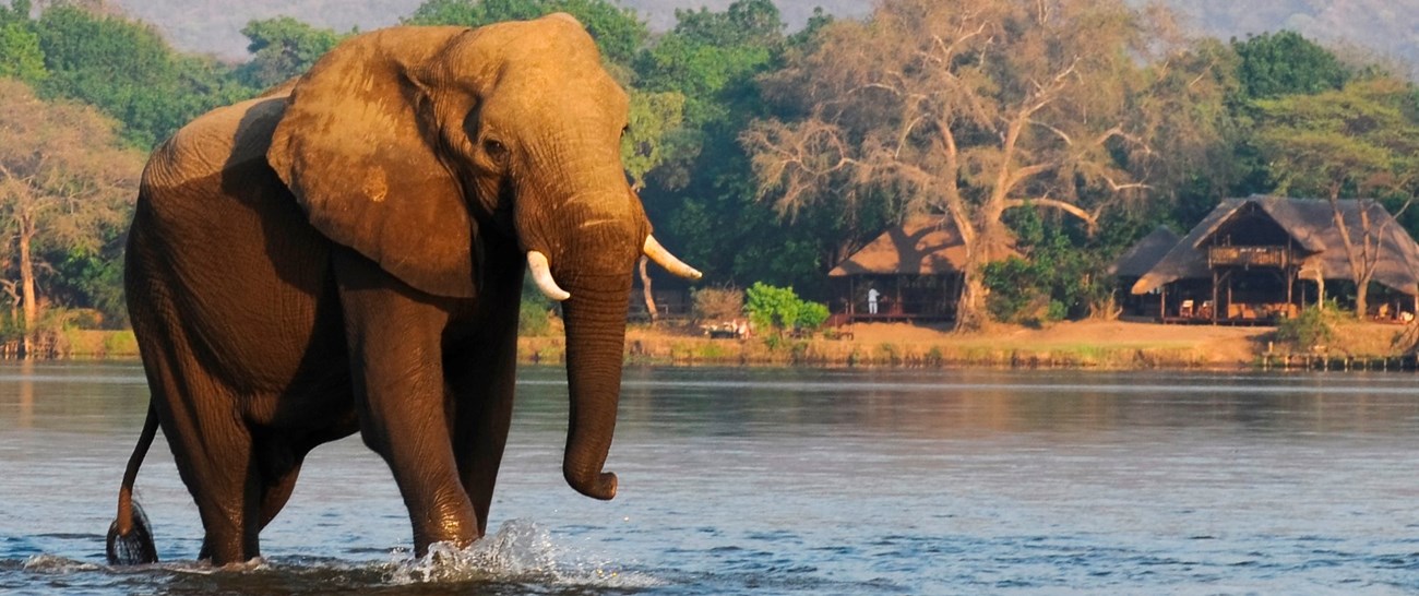
The Zambezi River is the Africa's fourth largest river systems, it runs through six countries on its' journey to the Indian Ocean. The uniqueness of the river lies in its' relative underdevelopment, with just a few human settlements on the banks and a lot of protected areas around.
The River finds it's source in North-Western Province in Zambia and the area around it is an important bird area. The river is 2574 km long and is divided in 3 parts: Upper Zambezi, Middle Zambezi and Lower Zambezi. Each part is different from the other and have its' own attractions.
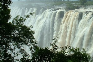
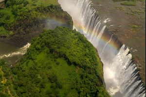
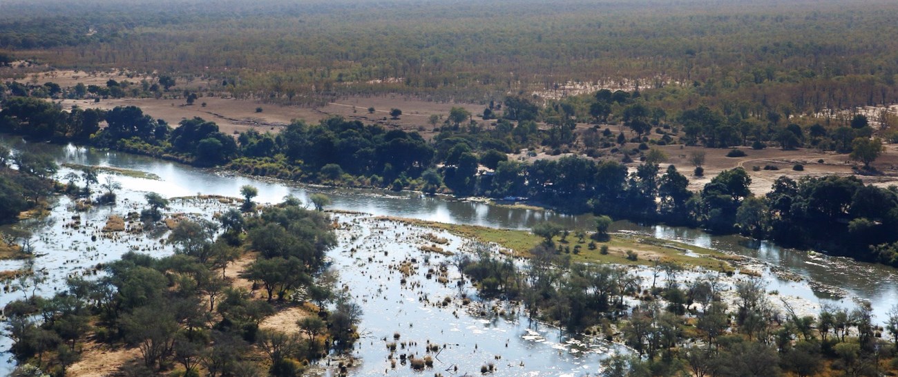
In the Upper Zambezi the river is characterized by slow flowing as it can become 25km wide in the flood season, forcing people to move upland. At some point it meets Chobe River forming a natural border with Botswana and flowing forward to the Victoria Falls. This part is full of exciting activities, abundant wildlife and spectacular sights on both Zambian and Zimbabwe sides. Victoria Falls is considered to be a border between Upper Zambezi and Middle Zambezi. As well as Zambezi River becomes a border between Zambia and Zimbabwe for the next 500 km.
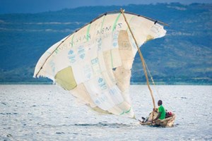
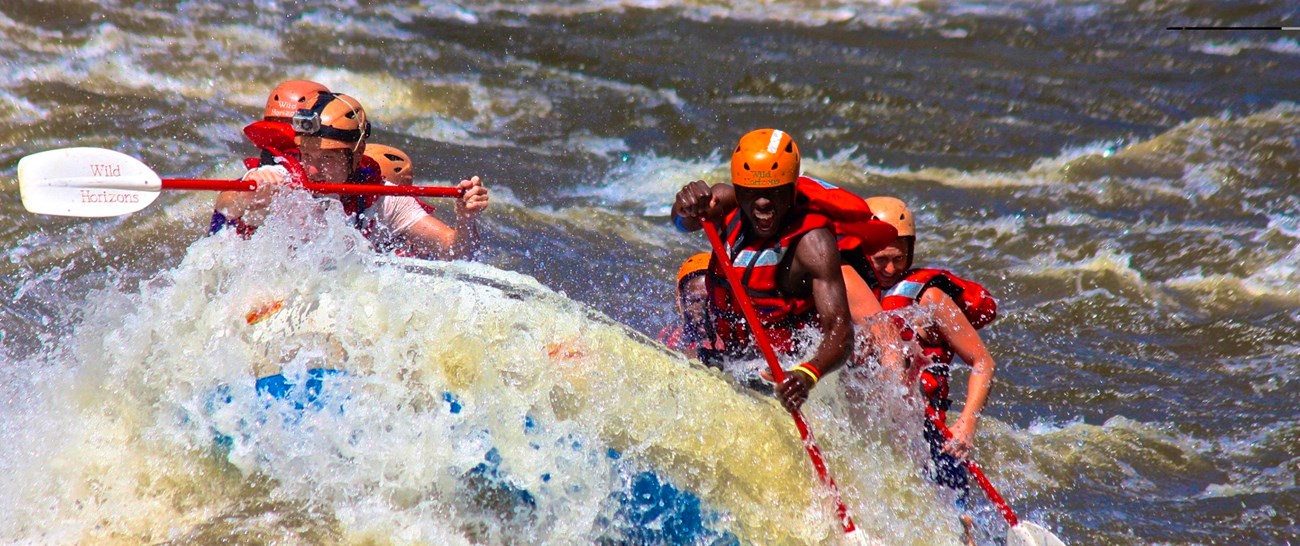
The Middle Zambezi is known for the gorges the river cuts through. It is the best place for white water rafting, as Zambezi River has Class 5 for it (Class 6 is the most dangerous). It has white water, big waves, large volume and possibility of a large drop. Another substantial spot is Lake Kariba, the great place for fishing, boat cruises and stunning sunsets.
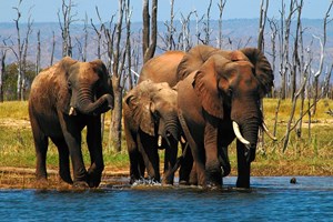
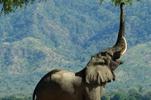
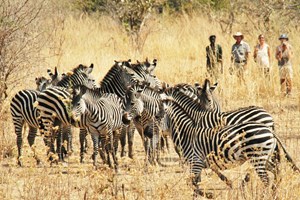
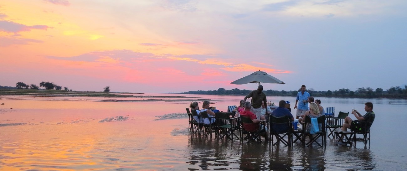
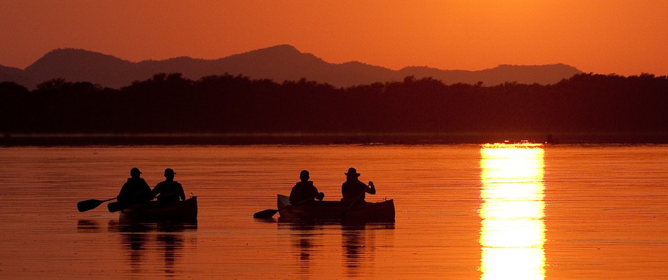
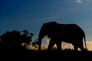
In the Lower Zambezi the river is spread out on the vast territory and is best known for the canoe safaris in Lower Zambezi National Park (Zambia) and Mana Pools National Park (Zimbabwe). This territory is a great wild reserve of a great importance for Africa. At the same time a great spot for travelers.